Home
Home Up
Up Search
 Mail
Mail
NEW
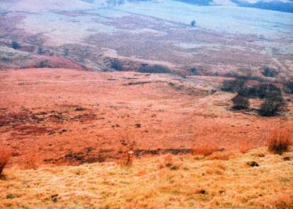
The Smithills stone rows
By David Aspinall
I've found the remains of four stone rows in Bolton (latitude:
53°37' N and longitude 2°30' W). Two are in
pretty good condition still, though all the stones have slumped, and
the other two have been substantially altered. There is a type of
pairing to be seen in the rows, but I am only just starting to
understand
it - they're within a valley which runs from west to east and, as it is
mostly a Country Park, there is full public access.
There is a pair of
rows on the south side of the valley, these demonstrate the moon rises,
and there is a pair of rows on the northern side that show the moon
sets.
There are also outlying stones, cairns and barrows nearby. The two
southern rows are angled, maybe a third to a half the way up their
length, so there is a total of six possible azimuths .
I have measured
them with only the simplest equipment; a graduated magnetic compass
(from Sweden), a Victorian 6" Ordnance Survey map and the conversion
tables from Dr Thom's Megalithic
sites in Britain [1967]. Further
observations are very welcome.
I have estimated the
apparent altitudes of the horizon, although I intend to construct a
simple clinometer by
the summer. So far I have calculated three of the intended
declinations.
It seems that each of the rows incorporates an alignment to one of the
four standstill limits of the moon. An
alignment to the setting position of Deneb, at around 2000 BCE, also
appears.
Possible alignments seen:
- Brown Stones (minor lunar standstill limit at set) SD 679130
- Counting Hill stone row (major lunar standstill limit at set?) SD
672141
- Burnt Edge stone row (major lunar standstill limit at rise and
Deneb set) SD 666127
- Thurstones (minor lunar standstill limit at rise? and ?) SD
681116
Disclaimer and Copyright
HomeUpSearchMail
Major content related changes: Feb. 8, 2004