Monuments around Maeshowe
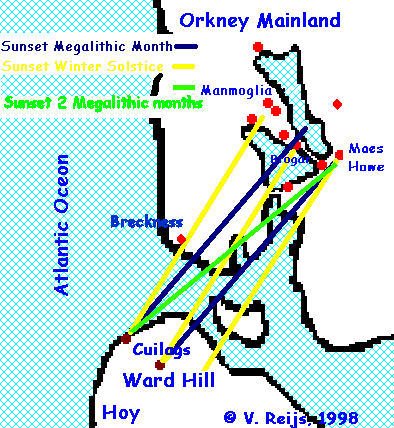
 The following monuments will be studied with regard to the reappearance
of the sun behind the steep slopes of Ward Hill (Glen of Greor and
hill belonging to Red Glen) and the Cuilags (Kame of Hoy):
-
Maeshowe

around 2800 BCE
-
Standing stones of Stenness

around 3000 BCE
-
Unstan

3500 - 2900 BCE
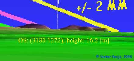
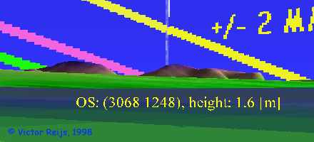
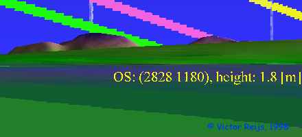
Sun path (all around 3000 BCE).:
-
The green line: winter solstice,
-
the purple line: 1 Megalithic Month (MM) before/after
winter solstice and
-
the yellow line: 2 MM
before/after winter solstice
A more precise view of the above locations can be viewed in the
3D world. This world includes the major monuments in this region (chambered
cairns [white], cairns [yellow],
settlements [magenta], mounds [blue],
burnt mounds [brown], tumuli [red],
standing stones [black] and rings of standing stones [gray]).
If you click on the red square in the world, you can toggle the date
between 3500 BCE and 2000 CE in steps of 500 years.
Other candidates (but less important I expect):
-
Ring of Brodgar
ring + large mounds: 2500 -1750 BCE
small mounds: 1750 - 1250 BCE
-
tumuli around Stanley Hill
long cairn: 3500 - 3000 BCE
rest: 2000 - 1000 BCE
-
Ring of Bookan
ring: 3000 - 2000 BCE (or earlier)
tumuli: 2500 - 1250 BCE
-
tumuli at Rosemount (272 165)
2000 - 1000 BCE
-
Midhouse Tenston (278 161)
2500 - 1000 BCE
-
Linga Fold (264 153)
??? BCE
Last major content related changes: Dec. 29th,
1999, © Victor Reijs


