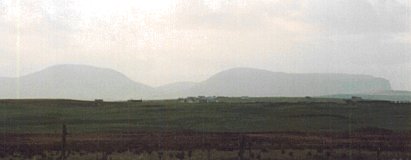
Near Quoyloo (HY243215)
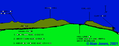
Near settlement of Breckness (HY233099)
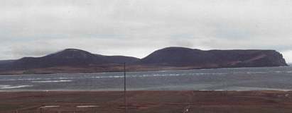
From cairns near Voy (HY265153)
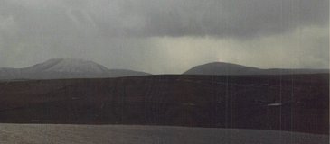
From Rosemount near tumuli (HY271165)
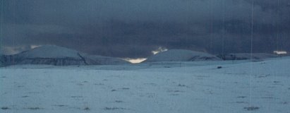
From near Shennar Howe (HY280166)
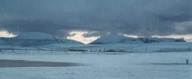
From top of Unstan cairn (HY283118)
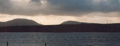
From middle of Ring of Bookan (HY284145)
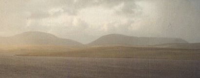
From cairn between Brodgar and Bookan (HY288140)
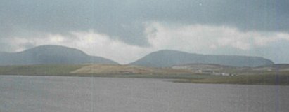
From Howaback near tumulus (HY294197)
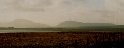
From middle of Ring of Brodgar (HY295133)
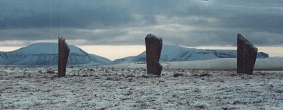
Beside Comet Stone (HY296133)
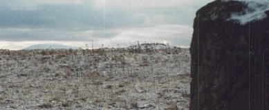
From cairn at bank of Loch of Harray near Ring of Brodgar (HY296134)
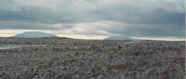
Near Brodgar Farm (HY304128)
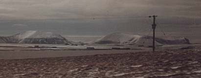
Beside Watch Stone (HY305127)
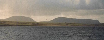
From middle of Ring of Stenness (HY306125)
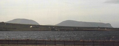
From Garth near tumuli (HY315195)
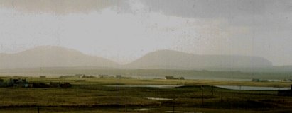
From tumuli at Staney Hill (HY317157)
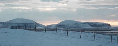
From Maeshowe (HY318128)
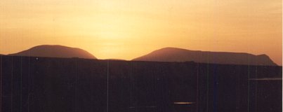
Beside standing stone at Staney Hill (HY319157)
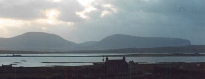
From Knowes of Trinnawin (HY335189)
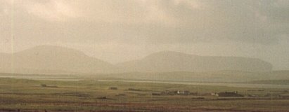
From near Knowes of Trotty (HY341179)
